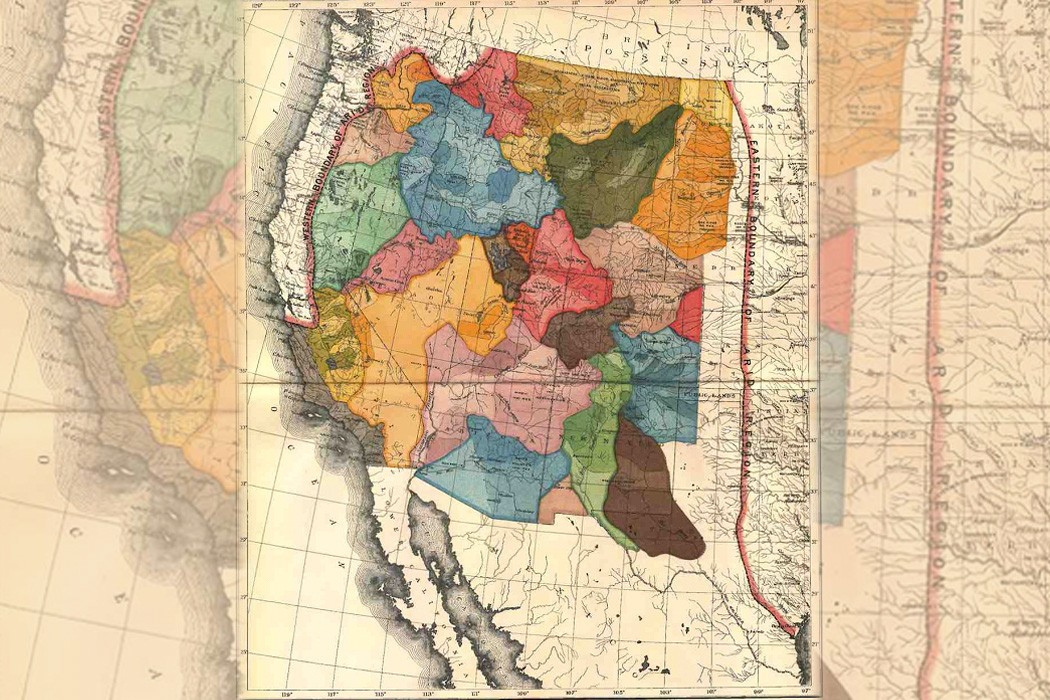
n 1879, geologist John Wesley Powell proposed that as western states were incorporated into the United States, their borders be determined by their watershed. Using Powell’s historic map (above) as a jumping off point, land use planner John Lavey has re-imagined the configuration of the U.S. states, and outlined some of the ways in which such an exercise leads us to reconsider our patterns of settlement and water use. Fascinating!
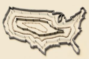
What if the Western states were formed around watershed as Powell envisioned? What would that look like and could we speculate on what that might mean for the functioning of modern communities? And since we’re going down that road, let’s ask another what if: What if all of the American states were based around principal watershed, from coast to coast–something even Powell didn’t consider.